INTRODUCTION
The Free State is known as South Africa's ‘breadbasket’ or ‘granary of the country’ and more than 30,000 farms produces over 70% of the country's grain. The province also boasts, among others productive gold and diamond mines, majestic sandstone mountains and archaeological and paleontological treasures. To the local rugby supporter this is ‘Cheetah country’!
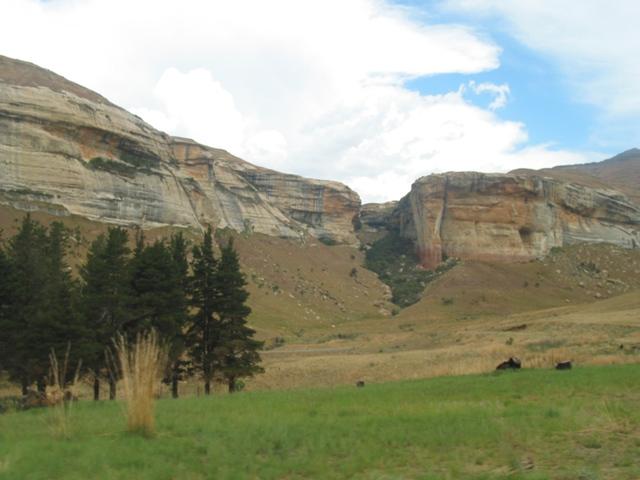
The landscape is characterised by the grassy plains of South Africa’s interior plateau. This is South Africa’s geographical heart, caught up between the Vaal and Orange Rivers. It is landlocked by KwaZulu Natal, Mpumalanga, Gauteng, North West, the Eastern Cape and Northern Cape. The neighbouring Lesotho fits in the hollow of the province’s bean- like shape.
The current borders date from 1994 when the Bantustans were abolished and included into the provinces of South Africa. It is the only Province of the former provinces of South Africa which did not undergo border changes (excluding the incorporation of the Qwa-Qwa Bantustan).
The Republic of the Orange Free State (Afrikaans: Oranje-Vrystaat; Dutch: Oranje-Vrijstaat) was an independent Boer republic in southern Africa during the second half of the 19th century. After the Second Anglo Boer War (Great South African War) it was a British colony for a short period, until 1910 when it became one of the four provinces of the Union of South Africa. In 1995, it became known as the Free State Province, one of the nine provinces of South Africa under the new dispensation. In Sesotho the province is known as Foreistata or Foreisetata.
The Free State might not have great appeal at first, but with time it will grow on you. Enjoy the journey!